LocationFix Agent
An autonomous analyst that turns a location fix ticket into validated, ready-to-run SQL — with a human always in the loop.
About the Project
When a property is geocoded to the wrong spot, IAG's pricing and exposure models see the wrong risk. Fixing it means a location fix request in ServiceNow — and, until now, a slow manual trail through multiple databases, satellite imagery and hand-written SQL for every single ticket.
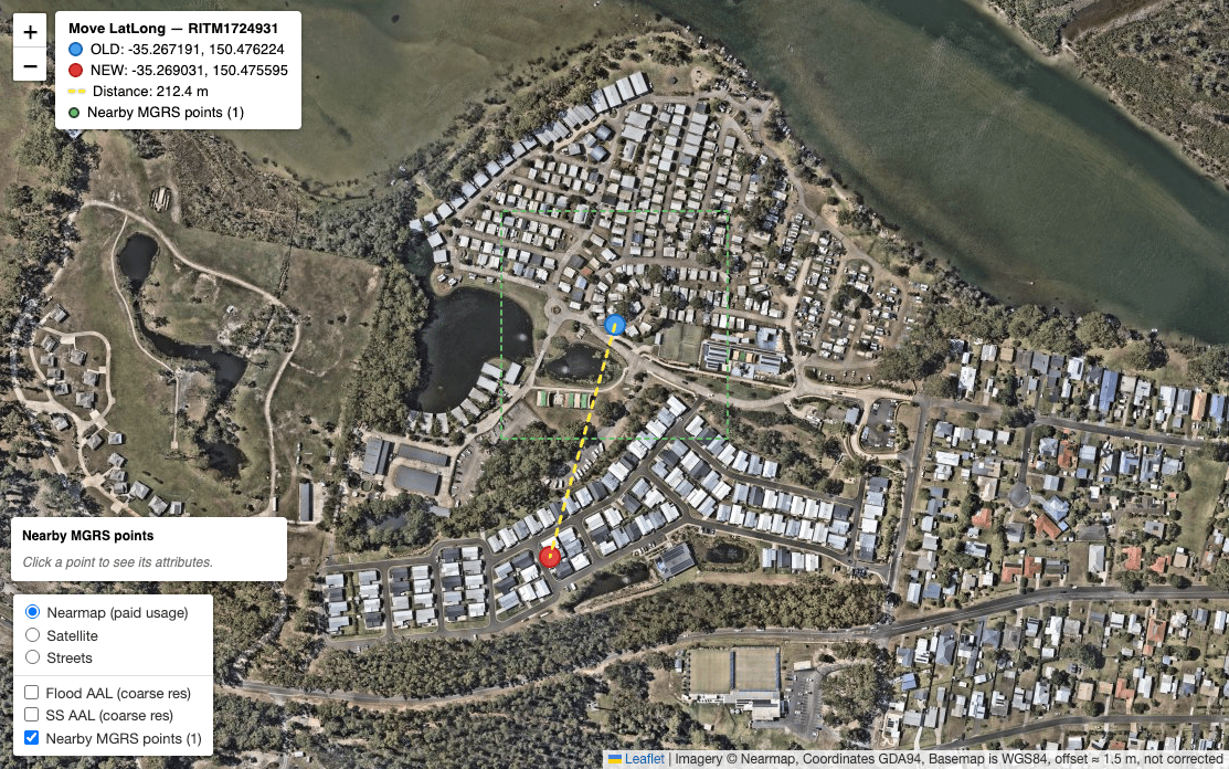
The Location Fix Agent automates that investigation. It pools tickets automatically, traces the GeoID across databases, cross-validates the new coordinates against multiple data sources — satellite imagery, address data and spatial context — and generates ready-to-copy REPORTING and PROD SQL — every finding backed by the exact query that proves it, and nothing executed without a human.
From a ticket toreviewed SQL
The agent pools tickets automatically and does the legwork an analyst would — the lookups, the branching decisions, the multi-source coordinate validation — then hands back a structured report and the exact SQL, staged for a human to run.
How it works
A disciplined workflow that mirrors how a geo operations analyst thinks — but runs in minutes, and shows its evidence at every step.
Investigate & branch
SELECT-only queries across databases confirm the GeoID type and current record, then choose Path A, B or C.
Validate the move
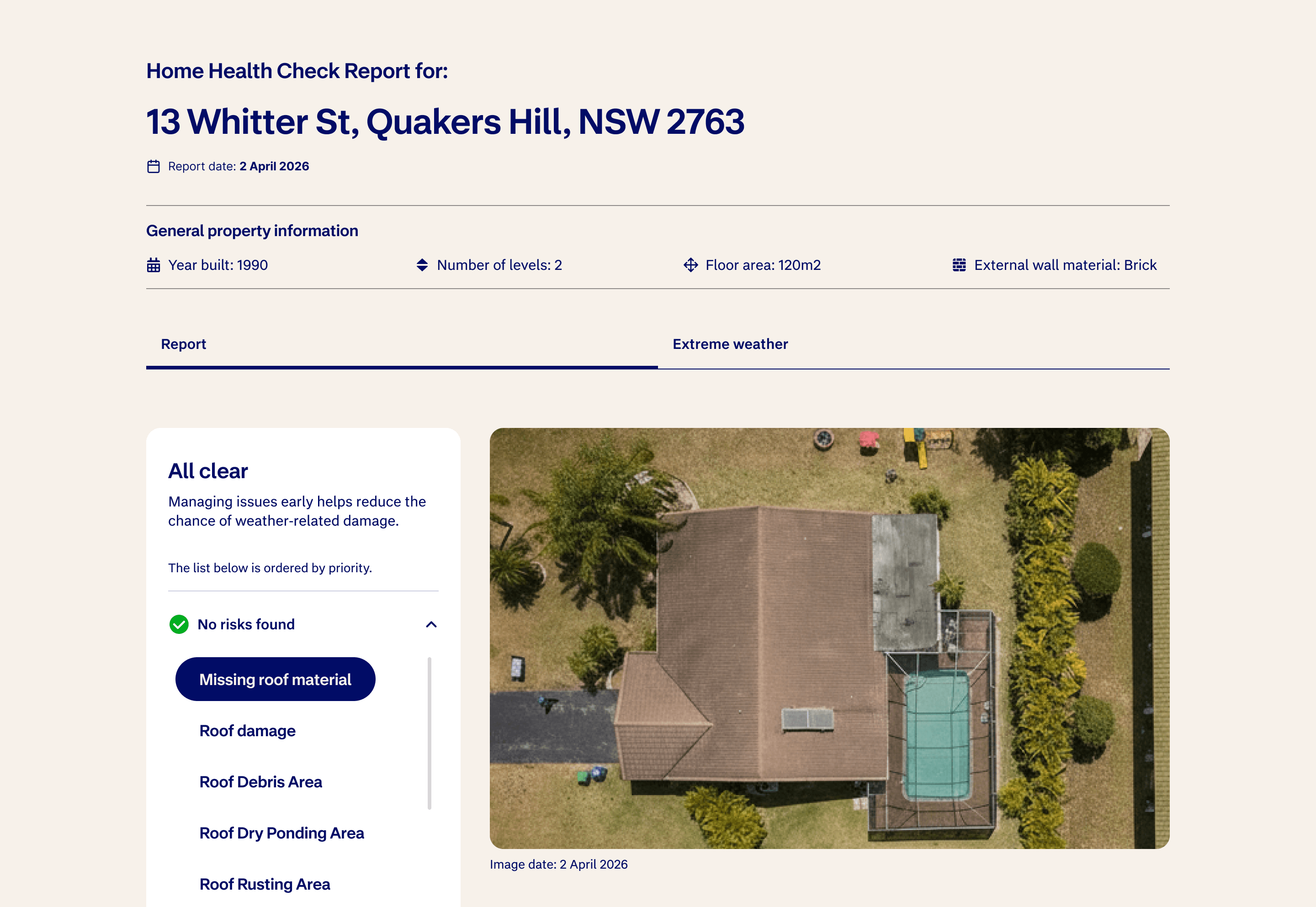
Satellite imagery, address data and spatial context are combined to confirm the new point lands on the right building.
Generate SQL
Ready-to-copy REPORTING and PROD statements, with every factual claim embedded as its supporting query.
Human review
A verdict — approved or flagged — and a next-steps checklist. A person runs the SQL and closes the ticket.
Built to betrusted
Every design choice pushes toward evidence, safety and reviewability — the things that matter when the output touches production risk data.
Evidence-backed
Every finding is accompanied by the exact SELECT that proves it — GeoID type, coordinates, mappings, all shown.
Multi-source validation
Satellite imagery, address data and spatial context are combined to cross-validate the new coordinates — not just a single screenshot check.
Vision LLM
LLM vision analyses satellite imagery as the first layer of judgement — identifying the correct location before a human is involved.
Rules-based skills
Every operation and decision step is encoded as an explicit skill — structured reasoning the agent follows, not improvised logic.
SELECT-only guardrails
The agent never runs DML or DDL. It reads, reasons and drafts — humans execute.
Human escalation
Ambiguous, contradictory or high-risk cases stop and route back to the geo operations team.
Engineered onMCP tooling
The agent is wired to IAG's geo systems through Model Context Protocol servers — live database access, satellite imagery, address lookups and a browser — so it can cross-validate coordinates against multiple sources while staying strictly read-only.
Read-only investigation across geo databases; Athena / EDH used to verify the change after a human runs it.
My Role
I identified the geo-correction workflow as a high-friction, high-volume problem — analysts spending hours on repetitive investigation work that followed the same logical steps every time. I designed and built the agent to automate that entirely.
That meant encoding the full investigation logic as explicit, rules-based skills; wiring the agent to live geo systems through MCP servers; and building in the guardrails that make it safe to trust — evidence at every step, read-only access, and a clear handoff to humans when it matters.
Precise locations,at a fraction of the effort
The Location Fix Agent turns a slow, manual geo-correction workflow into minutes of reviewed, evidence-backed work — helping IAG keep property risk data accurate, one ticket at a time.